|
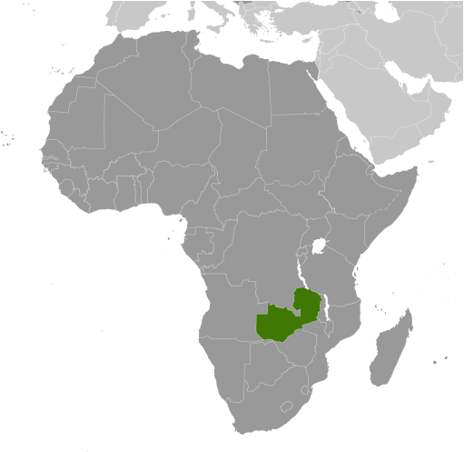
Geographical SpecificsTotal area : 752,618 sq km
Land area: 743,398 sq km Water area: 9,220 sq km Size comparitive Total areato U.S. territory: slightly larger than Texas Bordering territories: Angola 1,110 km, Democratic Republic of the Congo 1,930 km, Malawi 837 km, Mozambique 419 km, Namibia 233 km, Tanzania 338 km, Zimbabwe 797 km Total distance of all land boundaries: 5,664 km Total distance of coastline : 0 km (landlocked) Climate: tropical; modified by altitude; rainy season (October to April) Terrain: mostly high plateau with some hills and mountains Point of lowest elevation: Zambezi river 329 m Point of highest elevation: unnamed elevation in Mafinga Hills 2,301 m |
|
|
