|
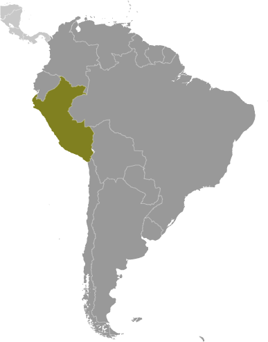
Geographical SpecificsTotal area : 1,285,216 sq km
Land area: 1,279,996 sq km Water area: 5,220 sq km Size comparitive Total areato U.S. territory: slightly smaller than Alaska Bordering territories: Bolivia 1,075 km, Brazil 2,995 km, Chile 171 km, Colombia 1,800 km, Ecuador 1,420 km Total distance of all land boundaries:7,461 km Total distance of coastline : 2,414 km; Pacific Climate: varies from tropical in east to dry desert in west; temperate to frigid in Andes Terrain: western coastal plain (costa), high and rugged Andes in center (sierra), eastern lowland jungle of Amazon Basin (selva) Point of lowest elevation: Pacific Ocean 0 m Point of highest elevation: Nevado Huascaran 6,768 m |
|
|
